
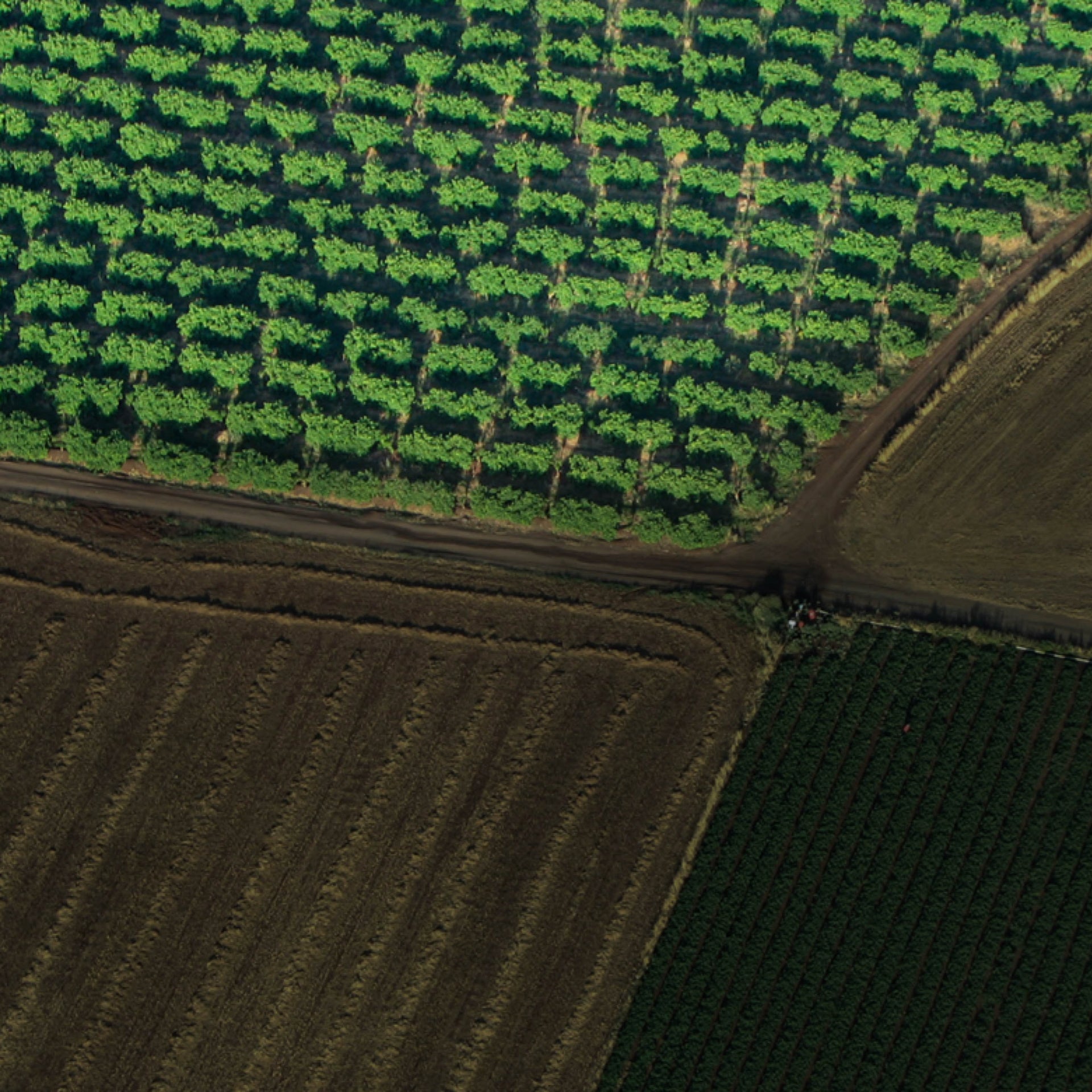
Aerial Surveying

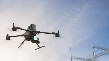
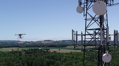
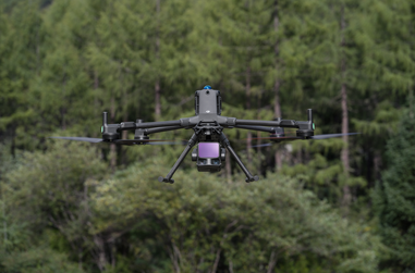
REX Drone Services provides advanced aerial surveying solutions across Ontario and throughout Canada, helping businesses capture accurate data faster and more efficiently. Based in the Greater Toronto Area, our team uses industry-leading drone technology, including multi-rotor and fixed-wing UAVs to handle a wide range of surveying needs.
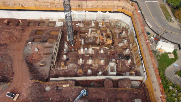
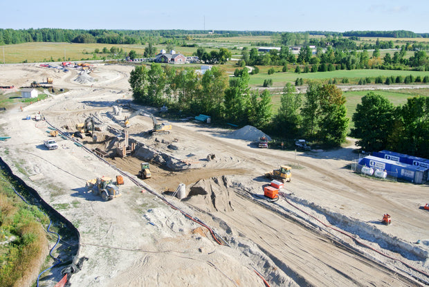
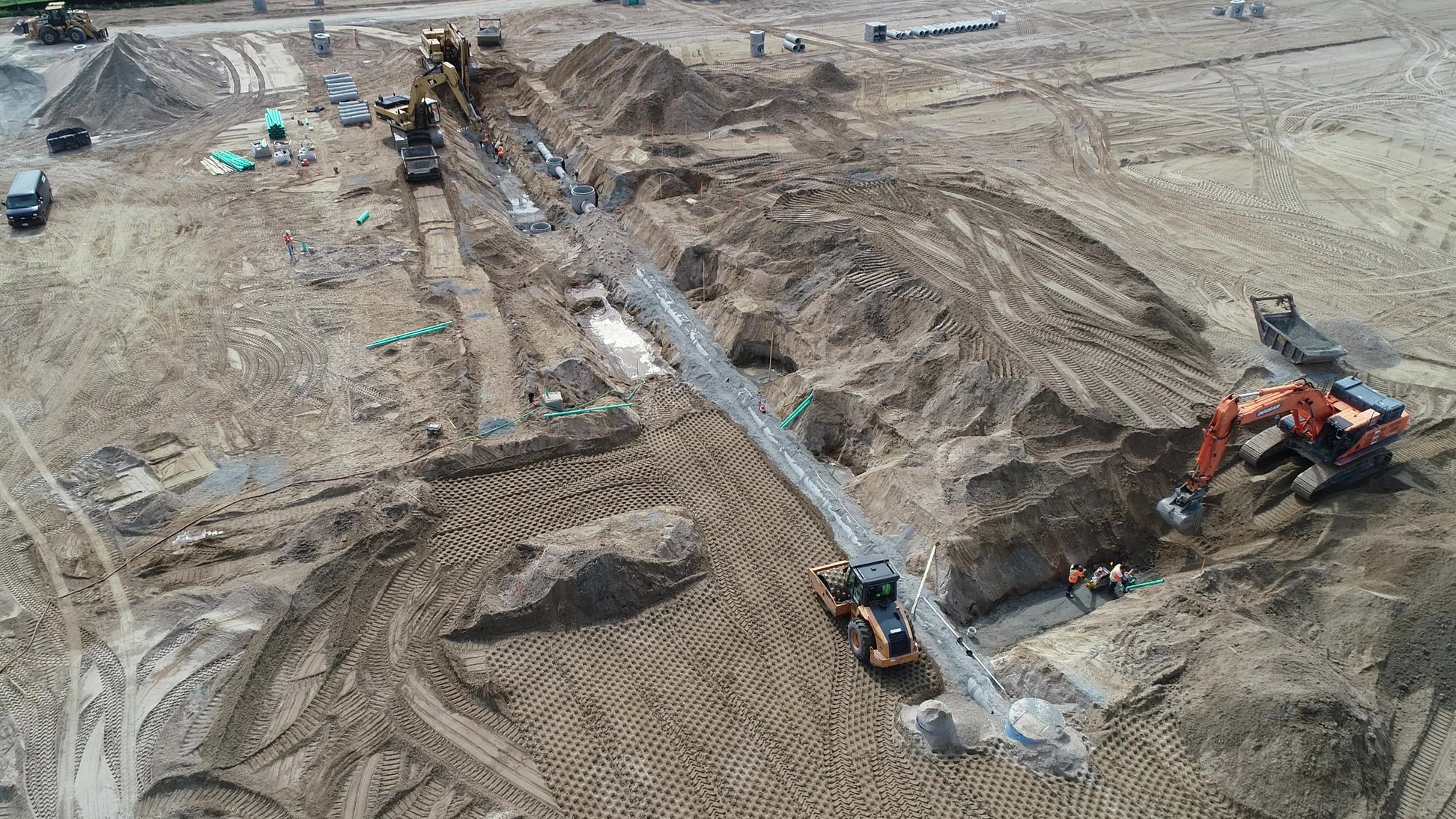
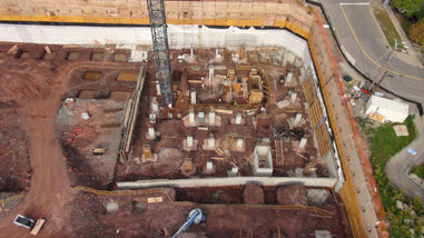
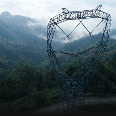
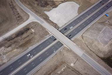
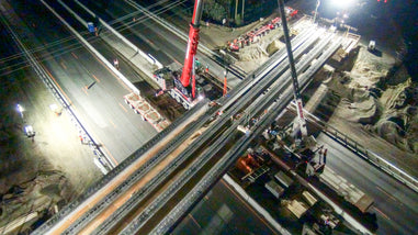
From construction sites and infrastructure projects to energy and industrial operations, we deliver high-quality services such as aerial inspections, topographic mapping, thermal imaging, construction, land development and precise volume analysis. Every project is approached with a focus on accuracy, safety, and real-world usability.
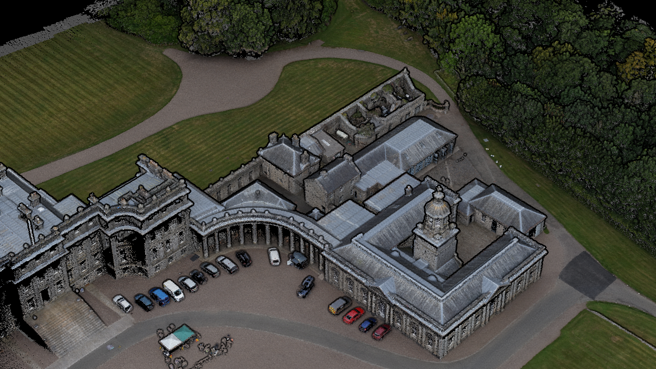
Beyond data capture, REX Drone Services supports your entire workflow with detailed processing and analysis. We provide deliverables like 3D models, orthomosaic maps, and cut/fill calculations, helping teams make informed decisions with confidence.
If you're looking for reliable drone surveying in Ontario or anywhere in Canada, REX Drone Services offers a smarter, faster way to get the insights you need.
Aerial Surveying Services
Drone (UAV) aerial surveying delivers far greater detail than traditional aircraft-based methods by flying safely at lower altitudes. Based in Toronto, REX Drone Services provides reliable drone surveying across Ontario and throughout Canada. It’s a safer, more efficient, and cost-effective alternative to conventional surveying methods without compromising on accuracy.
What We Do?
Aerial Topographic Mapping
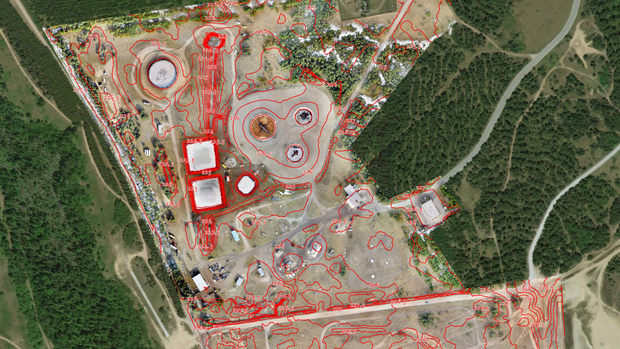
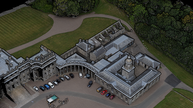
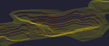
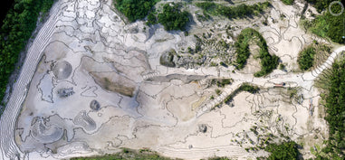
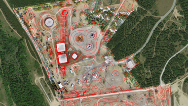
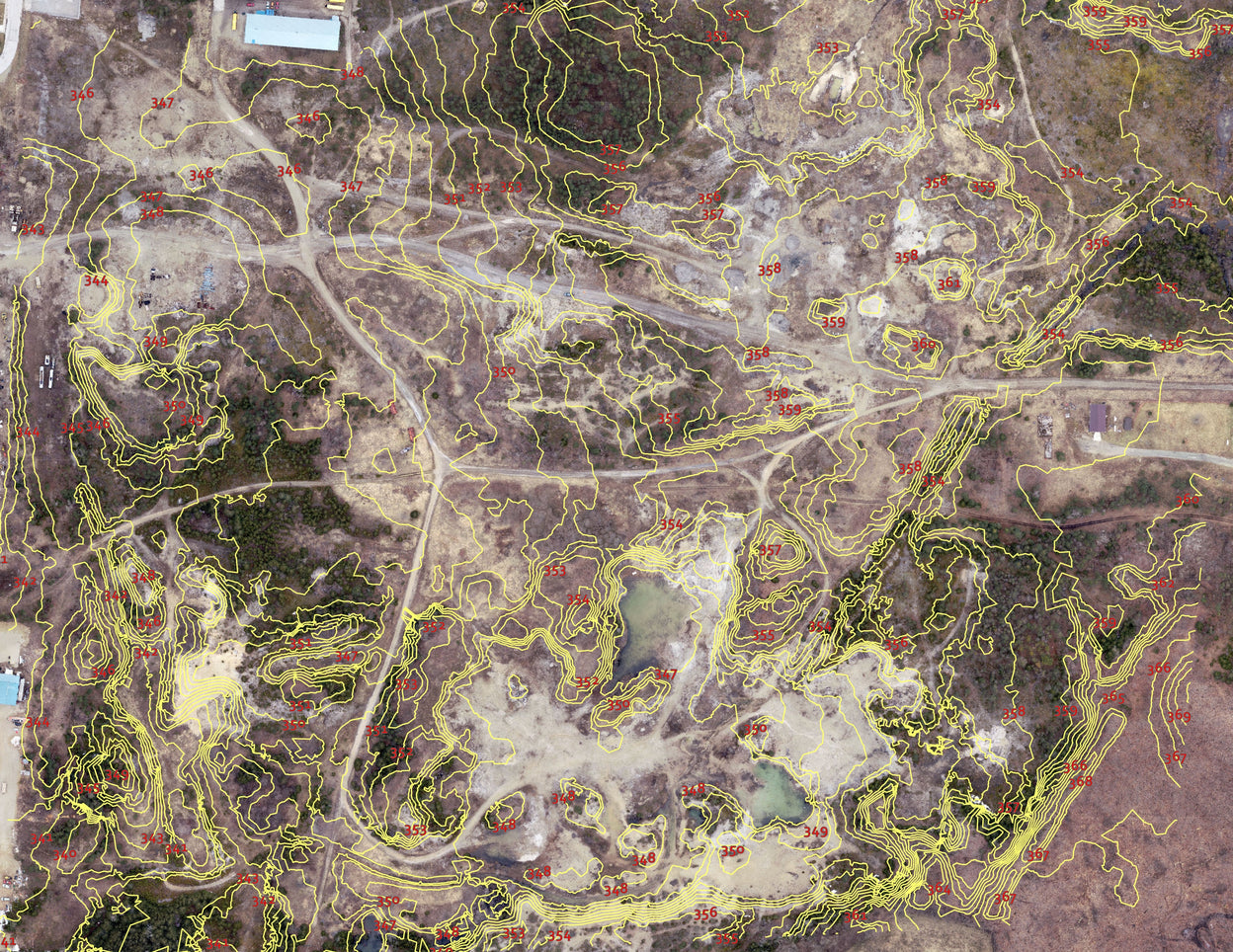
We use advanced drone surveying technology to capture high-resolution aerial data and generate accurate Digital Elevation Models (DEM) and detailed contour maps. Ideal for construction, engineering, and land development projects across Toronto, Ontario, and Canada where precision is critical.
Land & Property Surveys
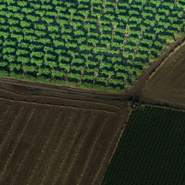
Get fast, reliable mapping and site data without the delays of traditional methods. Our drone land surveys support real estate development, infrastructure planning, and large-scale land assessments throughout the Greater Toronto Area and nationwide.
Stockpile Volume Calculations (Mining & Construction)
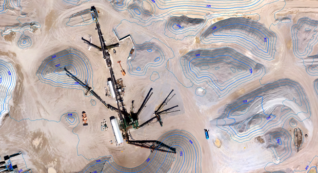
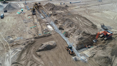
Measure stockpile volumes with confidence using drone photogrammetry and LiDAR technology. We deliver accurate volume data for mining operations, aggregates, and construction sites—helping you track materials, reduce errors, and improve operational efficiency.
3D Modeling & Digital Terrain Mapping
We create high-resolution 3D models and Digital Terrain Models (DTMs) to support planning, visualization, and decision-making. Perfect for infrastructure projects, site analysis, and ongoing progress tracking.
Benefits
✔ Faster Data Collection with High Accuracy
✔ Lower Costs Compared to Traditional Surveying
✔ Access Hard-to-Reach & Hazardous Areas
✔ Improved Safety for Your Team

What Do You Get from Our Aerial Drone Surveying Services?
Orthomosaic Maps (GeoTIFF, JPEG, KMZ) - Ready for Immediate Use : High-resolution, georeferenced aerial maps stitched with precision for accurate site analysis, project planning, and reporting. Perfect for construction sites, land development, and infrastructure projects across Ontario and Canada.
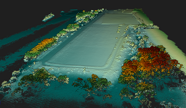
Digital Elevation Models - DEM, DTM & DSM (GeoTIFF, LAS) - Survey-Grade Terrain Data : Get highly accurate elevation and surface data for grading, drainage planning, and topographic surveys. Delivered in industry-standard formats, ready for CAD, GIS, and engineering workflows.
3D Point Clouds (LAS, PLY, XYZ) - CAD & BIM Ready : Dense, high-accuracy 3D datasets with millions of georeferenced points. Ideal for engineers, surveyors, and project managers working in AutoCAD, Revit, and GIS platforms.
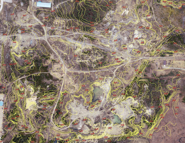
Contour Maps (DWG, SHP, PDF) - Engineering & Planning Ready : Clean, accurate contour lines generated from elevation data designed for site planning, land development, and civil engineering projects.
Get Survey Data You Can Use Immediately
No delays. No extra processing. Just accurate, ready-to-use drone data for your project.