Mining and Aggregates

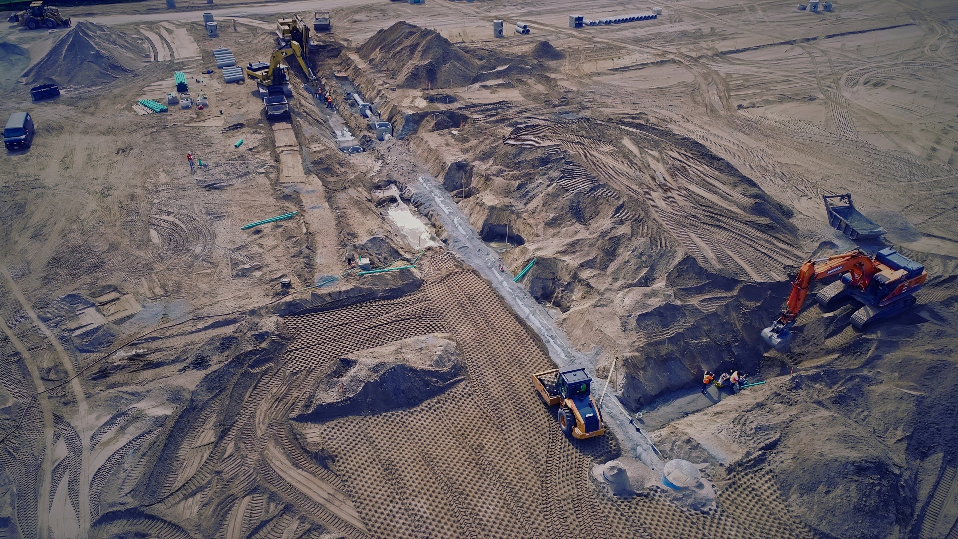
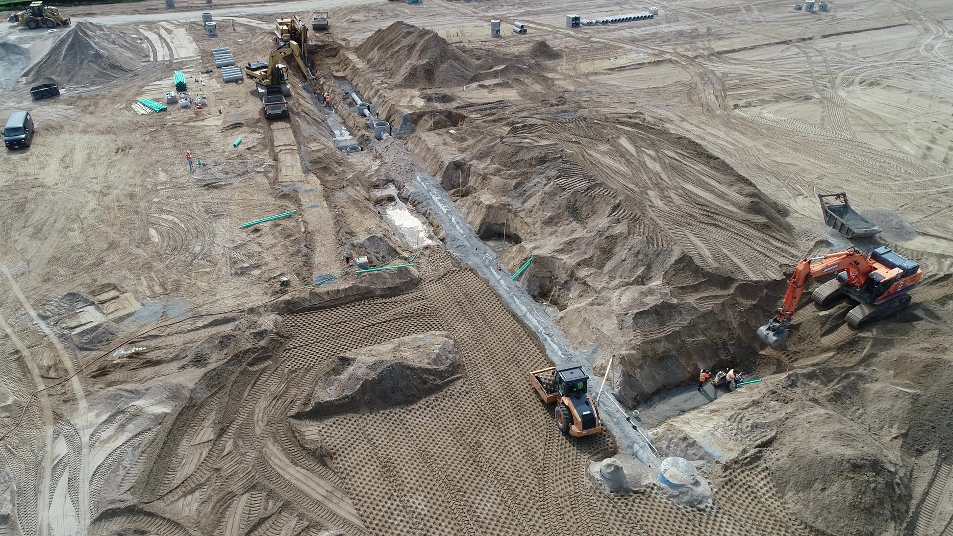
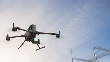
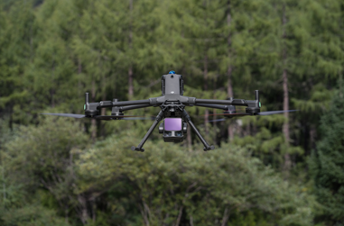
REX Drone Services provides advanced mining and industrial drone inspections across Ontario and Canada, helping teams capture accurate site data safely and efficiently. Using high-resolution, thermal, and multispectral sensors, we support open-pit mining, stockpile measurement, infrastructure inspections, and environmental monitoring.
From volume analysis and tailings dam inspections to structural assessments and change detection, our drone solutions deliver precise, inspection-ready data without the need for manual access in hazardous areas.
We go beyond data capture by providing 3D models, detailed inspection reports, and actionable insights, enabling teams to monitor site conditions, reduce risk, and make informed decisions faster.
For reliable drone mining inspections in Ontario and across Canada, REX Drone Services offers a safer, faster, and more cost-effective solution.
Drone Surveying, Mapping & Aggregates Services in Ontario & Canada
Drone-powered mining and industrial inspections deliver a higher level of detail than traditional inspection methods by accessing hard-to-reach and hazardous areas safely. Based in Toronto, REX Drone Services provides reliable inspection and monitoring solutions across Ontario and throughout Canada. From open-pit mines and stockpiles to infrastructure and critical assets, our drones capture high-resolution visual and thermal data to identify risks early. It’s a safer, faster, and more cost-effective way to monitor operations and maintain asset integrity- without compromising on accuracy.


What We Do?
Topographic Mapping & Geospatial Data Capture
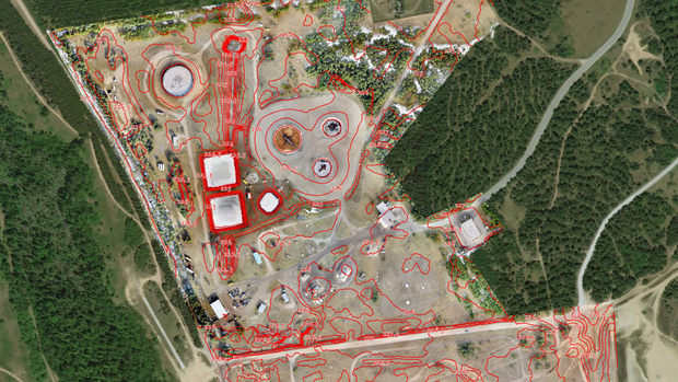
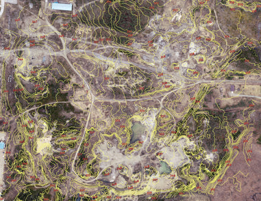
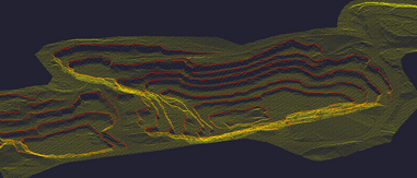
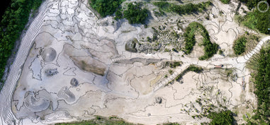
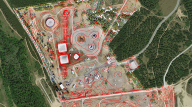
We capture high-resolution aerial data using advanced UAV systems to generate accurate Digital Elevation Models (DEM), contour maps, and orthomosaic imagery. Our drone surveying solutions provide centimeter-level accuracy, making them ideal for construction planning, engineering design, and land development projects.
Land Surveying & Site Analysis
Our drone-based land surveying services deliver fast, reliable boundary mapping and detailed site analysis for real estate, infrastructure, and large-scale development. By reducing field time and improving data accuracy, we help teams make faster, more informed decisions.
Stockpile Measurement & Volume Analysis
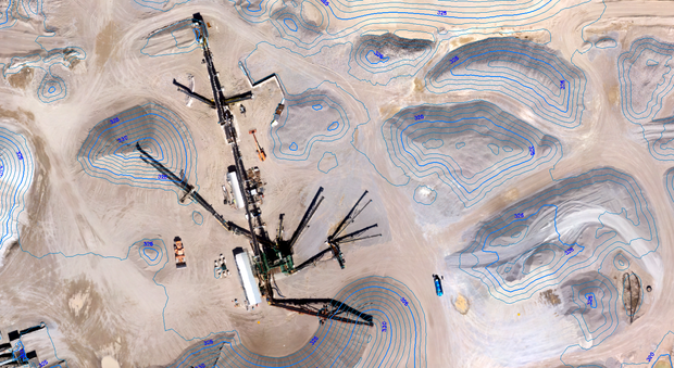
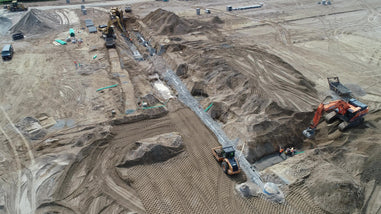
We provide precise stockpile volume calculations using drone photogrammetry and LiDAR technology. Designed for mining, aggregates, and construction operations, our data helps track material quantities, improve inventory management, and reduce costly estimation errors with accuracy typically within 1–3%.
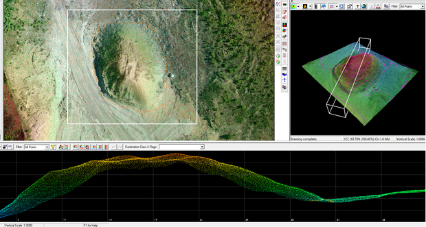
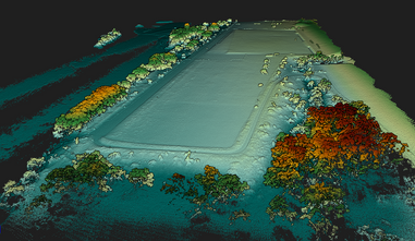
3D Modeling, Point Clouds & Terrain Mapping
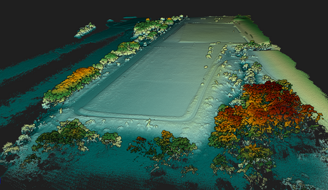
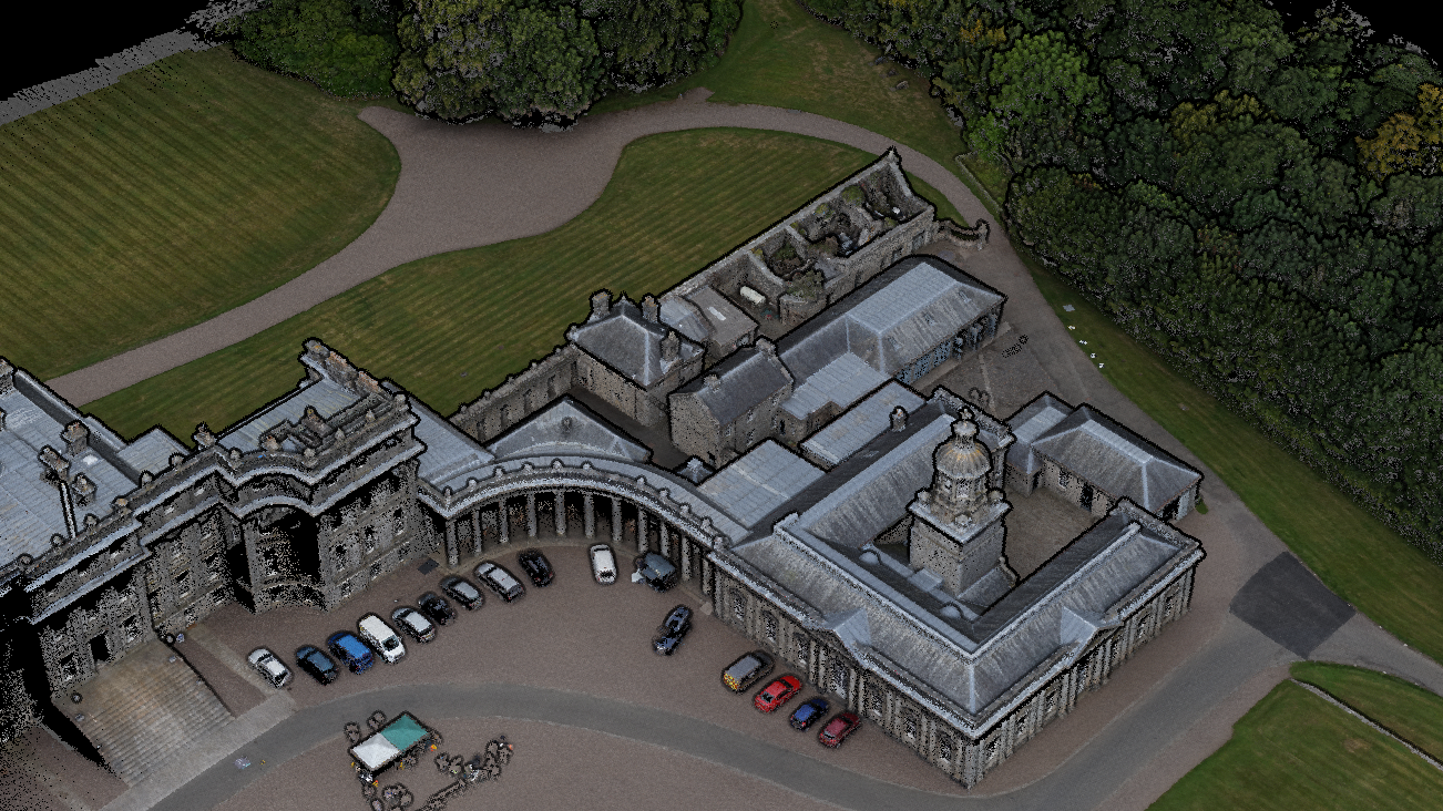
Our team delivers high-resolution 3D models, point clouds, and Digital Terrain Models (DTMs) for infrastructure planning, site visualization, and progress tracking. All outputs are compatible with CAD, BIM, and GIS platforms, ensuring seamless integration into your existing workflows.
Mining, Infrastructure & Industrial Drone Inspections
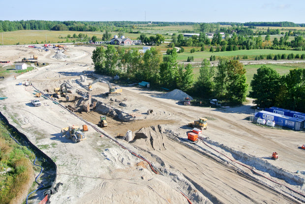
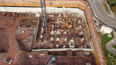
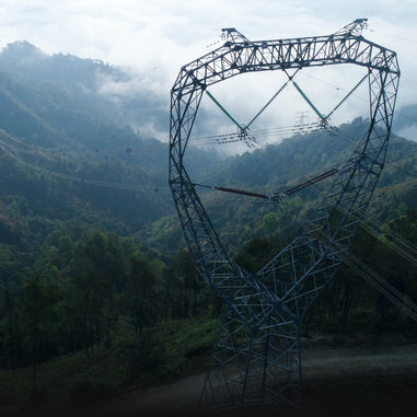
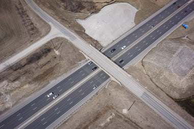
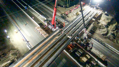
We provide drone surveying and inspection services for mining, infrastructure, and industrial sites across Ontario and Canada. Services include open-pit mapping, tailings dam inspections, environmental monitoring, and structural inspections of bridges, buildings, and utilities.
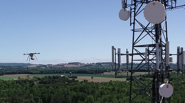
Using high-resolution, thermal, and geospatial data, we detect cracks, corrosion, and structural risks early - without manual access, improving safety, reducing downtime, and increasing site visibility.
Data Processing, Reporting & Deliverables
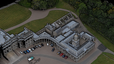
Beyond data capture, we provide fully processed outputs including orthomosaic maps, 3D models, point clouds, contour maps, and inspection reports. Our deliverables are available in industry-standard formats compatible with CAD, BIM, and GIS software, giving your team actionable insights for planning, compliance, and decision-making.
Benefits
✔ Safe Drone Inspections for Mining Sites, Infrastructure & Industrial Assets
✔ High-Accuracy Data Collection with Drone Photogrammetry & LiDAR
✔ Faster Aerial Surveys & Inspections Across Ontario & Canada
✔ Reduced Costs Compared to Traditional Inspection & Surveying Methods
✔ Access Hard-to-Reach & Hazardous Areas Without Manual Risk
✔ Early Detection of Structural Issues with Thermal & High-Resolution Imaging
✔ Real-Time Site Monitoring for Mining, Construction & Industrial Operations

What Do You Get from Our Mining and Inspections Services?
Rex Drone Services provides drone mining inspections across Canada, helping quarry, aggregate, and industrial teams capture accurate site data faster and safer. From drone quarry inspections and rock face analysis to stockpile measurement and terrain mapping, we deliver inspection-ready data without the need for manual access in hazardous areas.
What We Provide
- Drone quarry and mining inspections
- Stockpile measurement and volume calculations
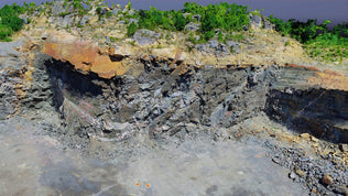
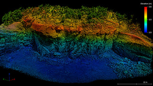
- Rock face and high-risk asset inspections (3D models / point clouds)
- Site monitoring and change detection
- Tailings and environmental inspections
Key Deliverables
Mapping & 3D Data
- 3D point clouds
- 3D mesh models
- Orthomosaic maps
- Digital elevation models including DEM, DTM, and DSM outputs
- Contour maps for terrain and elevation analysis
Inspection & Reporting
- Drone inspection reports for mining and industrial sites
- Stockpile volume calculation reports
- Change detection maps
- High-resolution visual inspection imagery
- Site condition documentation for internal review, planning, and compliance support
Benefits
- Faster data collection across large sites
- Reduced risk in hazardous environments
- Accurate stockpile and terrain analysis
- Clear, decision-ready reporting
Ideal For
- Mining companies
- Aggregate producers
- Quarry operators
- Industrial facilities
- Environmental consultants
- Engineering and planning teams
- Construction and infrastructure teams working near mining or aggregate sites