
Engineering

Featured banner image

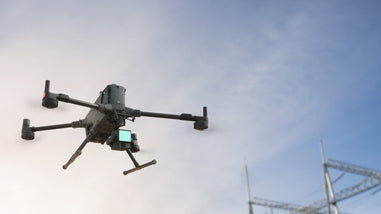
Engineering drone services use UAV technology to capture accurate aerial and geospatial data that supports site analysis, infrastructure assessment, and project planning. REX Drone Services combines high-resolution imaging, LiDAR workflows, and advanced mapping to deliver detailed insights faster and more efficiently than traditional methods.


This data helps engineering teams design, monitor, and manage projects with greater precision, whether for land development, construction, or infrastructure maintenance. From topographic mapping and 3D modeling to structural inspections and progress tracking, REX Drone Services provides reliable, data-driven solutions that improve accuracy, safety, and overall project efficiency.

Engineering Services

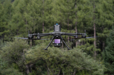
REX Drone Services provides professional engineering drone services across Ontario and throughout Canada, delivering high-accuracy data for site analysis, infrastructure inspections, and project planning. Using advanced UAV technology, high-resolution imaging, and LiDAR workflows, we help engineering teams capture detailed aerial and geospatial data faster and more efficiently than traditional methods.


Our engineering services include drone mapping, topographic surveys, construction monitoring, and infrastructure inspections of bridges, buildings, towers, and utilities. From land development projects to large-scale industrial sites, we provide reliable data for planning, design, and ongoing asset management.


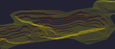
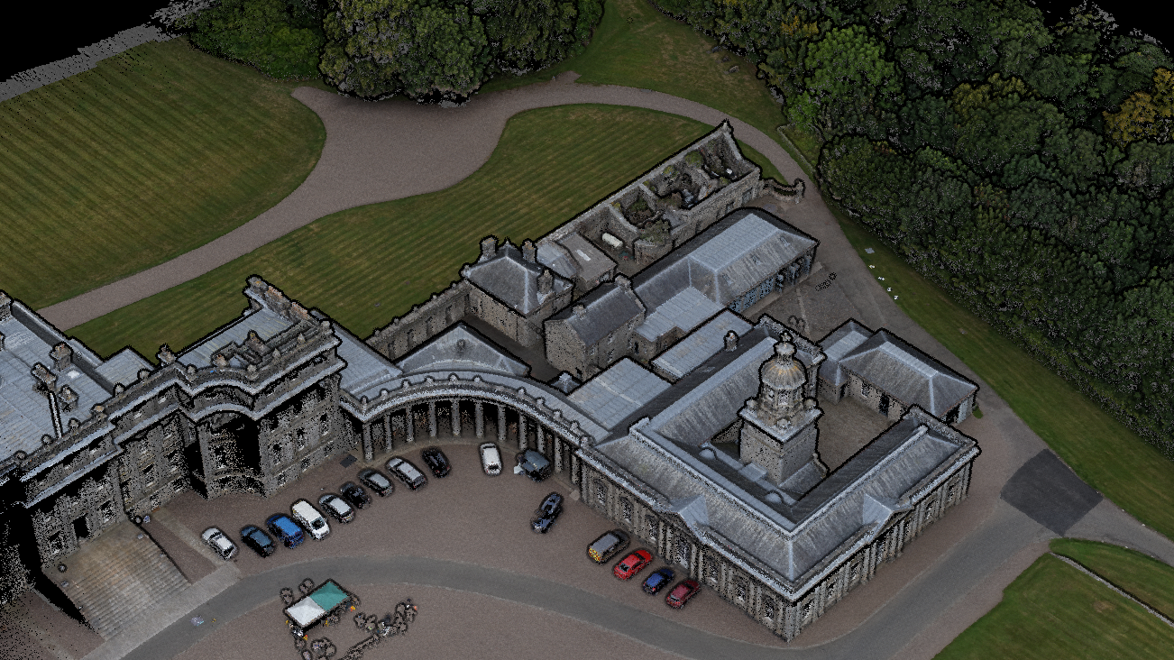
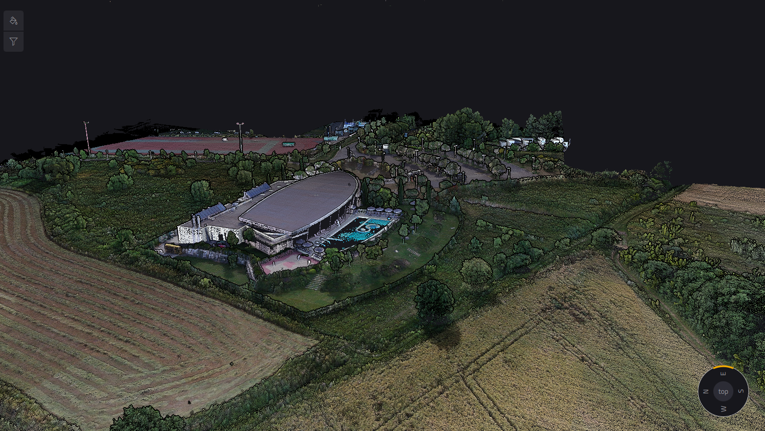
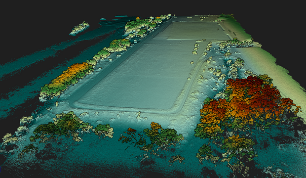
With deliverables such as 3D models, orthomosaic maps, point clouds, and CAD-ready datasets, our drone solutions support accurate decision-making while reducing the need for manual site access in hazardous or hard-to-reach environments.


If you're looking for reliable engineering drone services in Ontario or anywhere in Canada, REX Drone Services offers a safer, faster, and more cost-effective solution for modern engineering workflows.

What We Do?

Site Analysis & Feasibility Studies

REX Drone Services provides engineering drone services in Ontario and across Canada, using advanced UAV technology to capture accurate aerial and geospatial data for site analysis, feasibility studies, and project planning. Ideal for construction, infrastructure, and land development projects where precision matters.


Structural Inspections

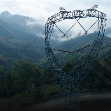
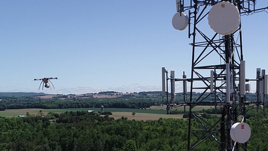
Our drone bridge inspection Canada services help engineering teams inspect bridges, buildings, towers, utilities, and hard-to-reach structures using high-resolution and thermal imaging. We help detect cracks, corrosion, heat loss, and structural weaknesses without the need for risky manual access.


Infrastructure & Construction Monitoring

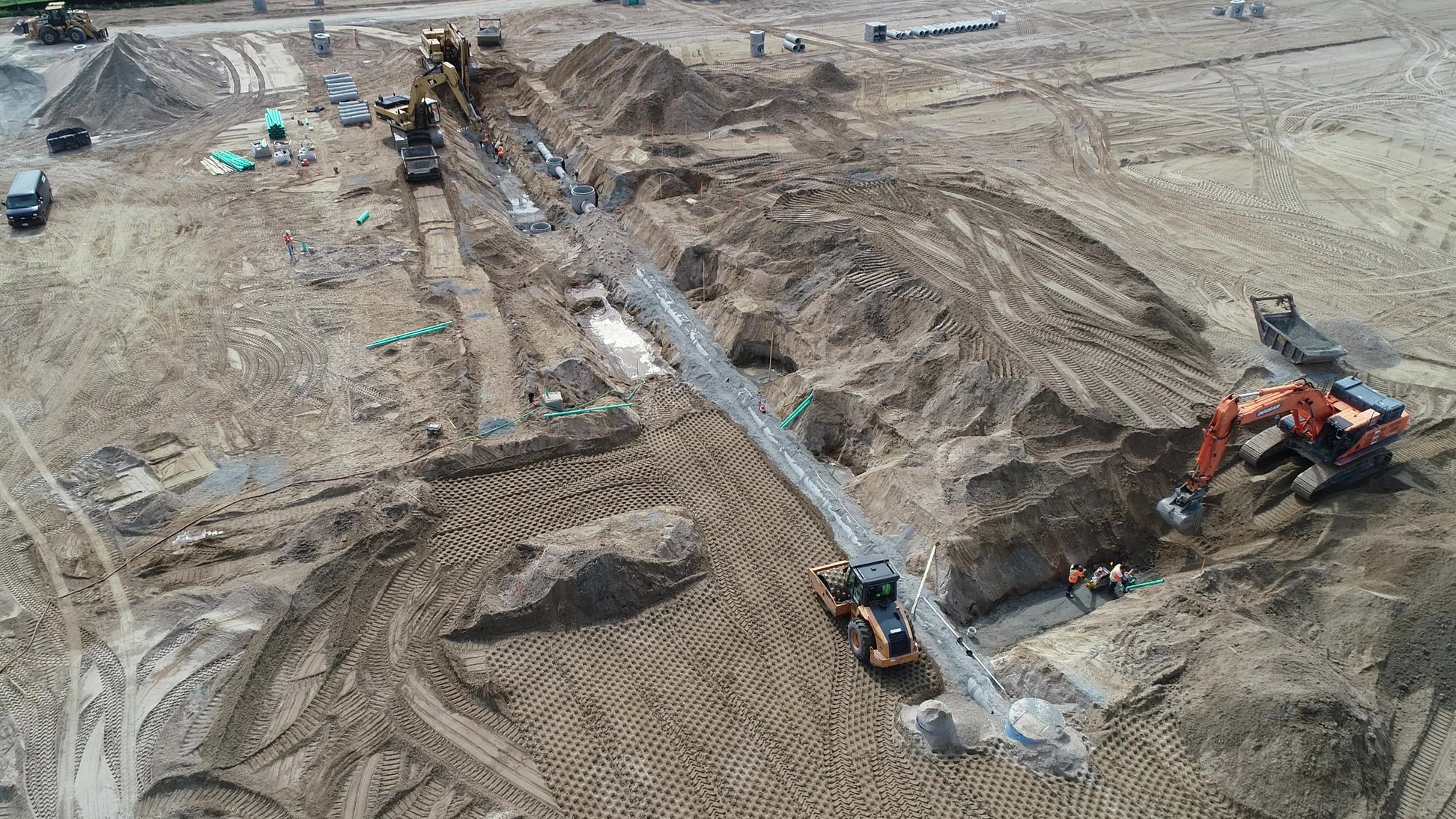
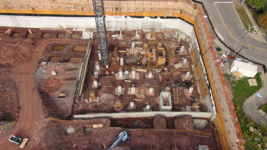
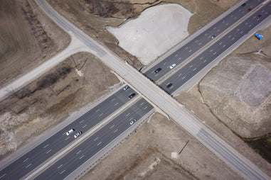
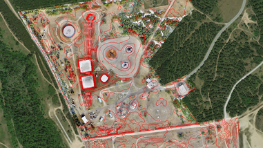
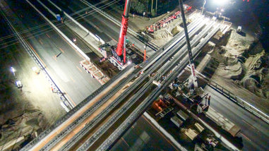
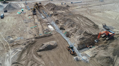
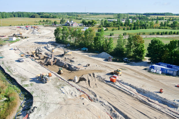
Track progress on infrastructure and construction projects with regular aerial data capture and reporting. Our drone engineering services help teams compare actual vs. planned work, identify issues early, and maintain better project visibility across Ontario and Canada.


CAD / BIM Data Integration

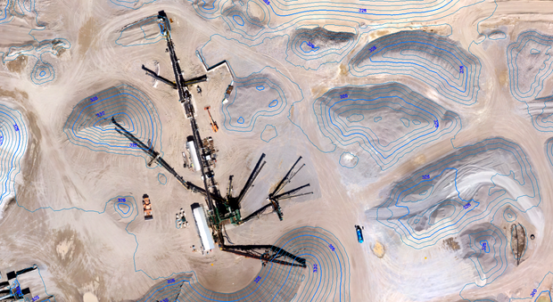
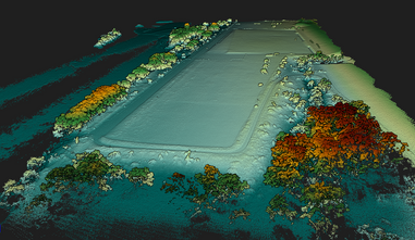
We deliver engineering-ready outputs including orthomosaic maps, point clouds, 3D models, and georeferenced data that support CAD and BIM workflows, including AutoCAD and Revit. These deliverables help engineers plan, design, and analyze projects with confidence.


3D Modeling & Engineering Analysis

REX Drone Services creates high-resolution 3D models, terrain data, and digital site outputs for engineering analysis, planning, visualization, and decision-making. Our drone data helps reduce delays, improve accuracy, and support safer project execution.

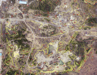
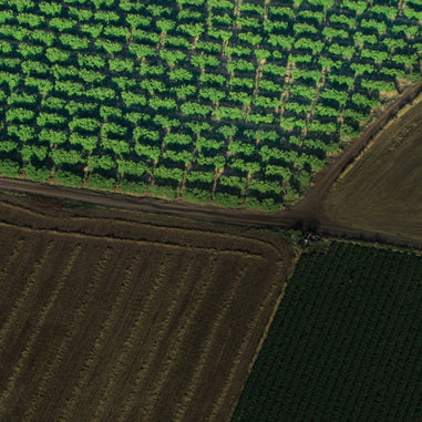
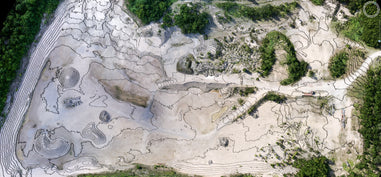
We provide drone-based site analysis and feasibility studies to help engineering teams understand terrain conditions before work begins. Using high-resolution aerial mapping and geospatial data, we support topographic surveys, land assessments, and early-stage planning for construction and infrastructure projects across Ontario and Canada.

During construction, we deliver ongoing aerial monitoring and structural inspections to keep projects on track. Our drone services help engineers track progress, compare actual vs. planned work, and identify issues early. We also conduct detailed inspections of bridges, buildings, towers, and utilities using high-resolution and thermal imaging, without requiring manual access to hazardous areas.

After project completion, we provide accurate as-built data and final site documentation. Our deliverables include 3D models, orthomosaic maps, point clouds, and CAD-ready datasets that integrate with engineering workflows. This supports validation, reporting, and long-term asset management with precise, reliable data.

✔ Faster Data Collection with High Accuracy

✔ Lower Costs Compared to Traditional Surveying

✔ Access Hard-to-Reach & Hazardous Areas

✔ Improved Safety for Your Team

Media image 1

What Do You Get from Our Engineering Services?

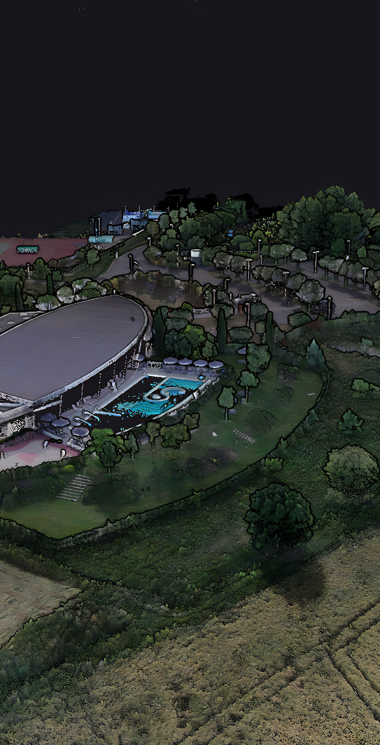
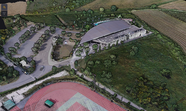
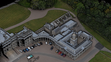
3D Models & Meshes (OBJ, FBX, STL) - Engineering Visualization & Analysis Ready : High-resolution 3D models of structures and terrain for detailed site analysis, infrastructure planning, and engineering visualization. Ideal for construction projects, land development, and industrial sites across Ontario and Canada.


Georeferenced Orthophotos (Geo TIFF, JPEG) - CAD & BIM Integration Ready : Accurate aerial imagery aligned to real-world coordinates, perfect for overlaying in AutoCAD, Revit, and GIS platforms. Supports engineering design, site planning, and infrastructure development workflows.


Structural Inspection Reports (PDF, CSV) - High-Precision Asset Analysis :
Detailed drone inspection reports with high-resolution imagery to identify cracks, corrosion, and structural risks in bridges, buildings, towers, and utilities. Designed for engineering teams managing infrastructure and industrial assets.


Thermal Imaging Reports (TIFF, MP4) - Advanced Defect Detection : Detect heat loss, electrical faults, and hidden structural issues using drone-based thermal inspections. Ideal for infrastructure inspections, energy audits, and industrial facility monitoring.


High-Accuracy Drone Data (±2–5 cm Mapping | ±1 mm Inspection) - Engineering-Grade Precision :
Reliable geospatial and inspection data using RTK/PPK drones and high-resolution sensors, ensuring accuracy for engineering analysis, design, and reporting.

Get Engineering Data You Can Use Immediately

No delays. No extra processing. Just accurate, CAD-ready drone data for engineering, construction, and infrastructure projects across Ontario and Canada.
Contact form

Get in Touch